
Follow a Sidney Street by Address
A street directory search in Sidney works best as an address trail, not a promise of a resident list. Start with the physical location in the Auditor search or 2D Parcel Viewer. Record the Property ID or parcel number, legal description, deed volume and page, and the exact labels beside any owner or contact field. Map the focal parcel, then inspect the nearby polygons. The Recorder can supply the recorded document history, while the City’s Civic Access service may add permit, inspection, plan, code-case, request, or license activity. Each item is evidence about the address, not a declaration that every person in a household is public.
For a person-specific question, a voter confirmation has required name fields and cannot serve as a free street roster. The Board of Elections’ Street Report Generation route is the more appropriate agency path for a street or precinct list, with statutory protections still applied. Historic names belong in verified directory issues or newspapers, not an assumed modern result.
- Run the address through the Auditor Real Estate Search and retain the parcel ID, legal description, and separate location and contact fields.
- Open the Shelby County 2D Parcel Viewer, select the focal parcel, and use adjacent polygons or Near Me for the immediate area.
- Check the voter confirmation tool for a known individual, or ask the Board about its street-report route instead of trying to reverse-search a block.
- Use the Recorder instrument path to connect the parcel’s deed reference to recorded transfers. The web index begins in 1989, so earlier work moves to office records.
- For a past street occupant, compare a real directory issue, a newspaper notice, map context, and a census date. The historical collections are detailed in the Sidney directory book.
Sidney Street Directory Parcel Controls
The Shelby parcel tools offer concrete controls for a Sidney street directory search. The Auditor’s Quick Search accepts parcel, owner, or address. The parcel-number field asks for no dashes or dots, and the listed-owner hint gives a Last First or Last%First pattern. A detailed property question can then be narrowed by school district, acreage, sales, values, land uses, classes, or location city, state, and ZIP attributes. The last of those is a parcel filter, not a substitute for the Postal Service’s address standard.
| Field or control | Documented Sidney-area use |
|---|---|
| Location Address | Find a property by physical street address. |
| Listed Owner Name | Search the named property field with the documented name pattern. |
| Parcel Number | Use the number without punctuation to reach a mapped parcel. |
| Near Me | Draw a point, line, or polygon, adjust distance, sort by distance, and export filtered results. |
The official Shelby parcel-layer field inventory shows the mapped data source. 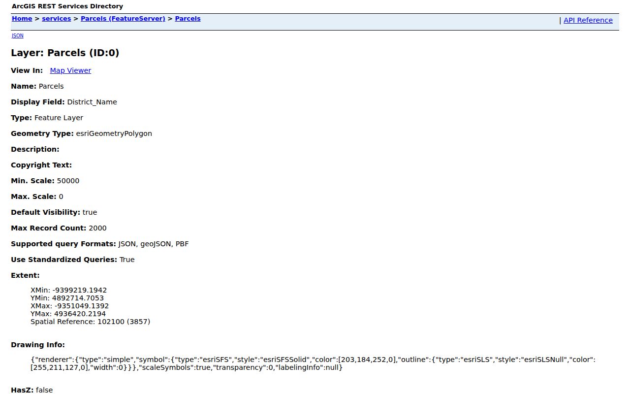 Its visible fields include parcel identifiers, listed owner, deed volume and page, legal description, values, and separate location, owner-contact, and taxpayer-contact groups.
The same field inventory includes tax year, district code and name, land-use code and name, school district, recorded acres, date conveyed, consideration, valid-sale flag, appraised and taxable values, exemptions, abatements, tax and payment fields, and parcel geometry. Those fields explain the property record. They do not identify every person who has used an address. When a listed owner, owner contact, taxpayer contact, and physical location are different, preserve the labels as displayed and use a second custodian record for any further question.
Sidney Street Directory Near Me Method
The 2D Parcel Viewer can support a narrow block check after the user has found the focal address. Select by location address, listed owner, or parcel number and zoom to the parcel. Then choose adjacent polygons or Near Me, draw the relevant point, line, or polygon, and adjust the default 500-foot distance if the street segment calls for a smaller or larger search. Results sort by distance, can be filtered before export, and display in 50-row table pages.
This is a map-based way to see nearby property records. It does not convert the map into a directory of every person on the street. Use the location and legal-description fields to keep the focal parcel clear, and treat separate owner-contact data as a separate field group.
The City GIS page describes local map and new-address channels. 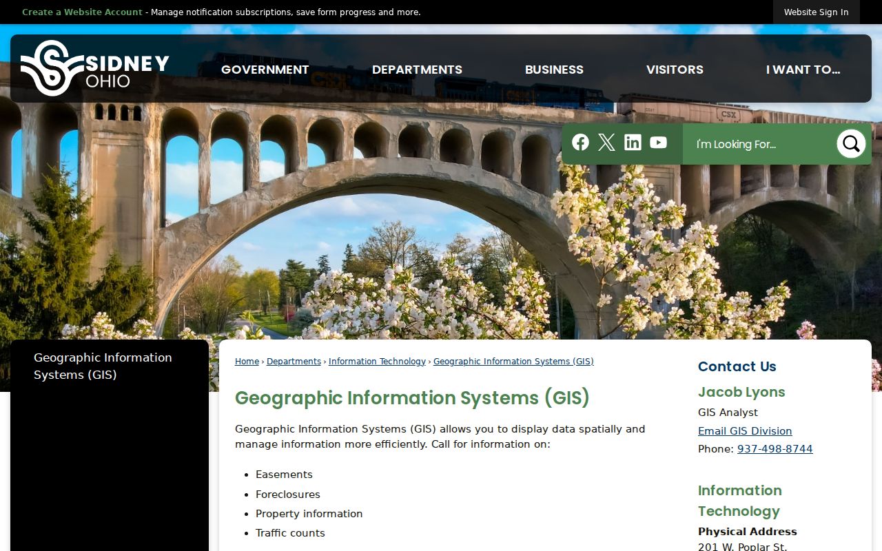 City GIS offers property maps and handles new-address applications, which makes it the appropriate office when the address itself needs clarification.
Sidney Street Deeds Beyond the Web Index
Once a street search reaches a deed reference, the Recorder’s cutoff matters. Office records date to 1818, but online index access is stated from July 1, 1989. CountyFusion requires an account before its detailed search screen. For a covered record, preserve the document’s party names, recording date, legal description, and book or page reference as displayed. For an earlier instrument, the correct next step is the Recorder counter or its copy-request process, not an invented online search field.
The Recorder copy-request page explains the offline channel. 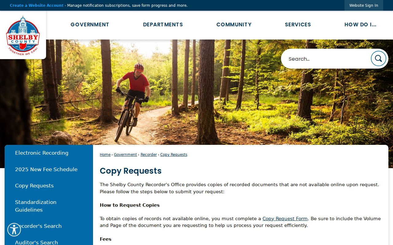 The request needs volume and page, and research records email or fax copies at $2 per page, with no fixed processing time promised.
Note: Before 1818, land questions may belong in Miami County because that is where the present Shelby territory lay.
Sidney Street Records by Custodian
Different Sidney street records answer different parts of the question. A parcel card can show a listed owner and a property description. A map can show parcel geometry and nearby locations. A deed index can place named parties in a recorded transaction. A City permit or code file can document an address-related activity. These records should be read with their own dates and field labels, particularly where a mailing address differs from the property’s situs address.
| Record Set | Keeper | What It Shows | Access |
|---|---|---|---|
| Property and tax fields | Shelby County Auditor | Parcel, listed owner, location, value, tax, and separate contact field groups | Free official search |
| GIS parcel viewer | Shelby County | Parcel polygons, filters, layers, nearby results, and CSV export | Free official viewer |
| Recorded instruments | Shelby County Recorder | Document parties, legal-description trail, and recorded chronology | Account portal after 1989; office bridge earlier |
| Street and precinct reports | Shelby Board of Elections | Public voter-list data within legal limits | Ask BOE about current report parameters |
| Permit and code activity | Sidney Community Development | Permits, plans, inspections, code cases, requests, and licenses | Civic Access public-search route; filters not verified |
A parcel number and legal description provide the strongest bridge among the property, map, and deed records. A street name is less stable over time, and a voter result should not be blended into a parcel record without a separate match.
Sidney Street Activity in Civic Access
Sidney’s Civic Access landing page identifies public searching for existing permits, plans, inspections, code cases, requests, and licenses. It also offers a map for neighborhood activity. This can be useful address evidence when a street question involves a visible project, a planning matter, or a code record. The City says the same system supports permit and plan applications, contractor registration, inspection requests, planning cases, replats, lot splits, rezonings, and licenses.
The post-click filters and result fields were not verified during research because the interactive system requires a session. Use the portal’s public-search route or contact Community Development instead of promising a name filter that was not observed. A permit record describes work or regulation at an address, not proof of residence.
For a new address or a property map, City GIS is the designated channel. Research records an 8½ by 11 property map at $1, with other map fees in the City schedule, and gives the GIS analyst number as 937-498-8744. Community Development is at City Hall, 201 W. Poplar St.; its portal assistance number is 937-498-8114 extension 8130. Permit processing begins within up to one business day once an application is complete, but that administrative timing is not a search-result promise. City permit jurisdiction also does not extend to work outside Sidney’s city limits.
Sidney Street Address Terms
Street research gets clearer when each field keeps its own meaning. A property’s physical address, its mailing field, and its recorded land description can point to different things. The Shelby parcel service exposes these distinct groups, so a difference is something to note and verify, not something to resolve by assumption.
- Parcel
- A mapped property unit with an identifier, geometry, and related county fields.
- Situs address
- The physical location address for the property.
- Legal description
- The lot, block, subdivision, or other land identifier used in a recorded transaction.
- Plat
- A recorded map that lays out property divisions or streets; it is not a household roster.
- Criss-cross directory
- An address-oriented historical arrangement, useful only for a verified issue and date.
Sidney Street Context From Historic Maps
Historic street questions often need map context before a name search. SCHS links Sidney Sanborn editions for 1887, 1892, 1898, 1907, and 1914. The 1898 edition at the Library of Congress has 18 sheets. These maps can show building footprints and street context, but they do not list residents. The City history also records graded streets beginning in 1896, paving and sewer work around 1903, and fully paved City streets by 1950.
No authoritative citywide renumbering year was located. A historical street number should therefore be checked against the map edition, legal description, and contemporary source rather than converted with a guessed formula.
The 1900 American Atlas Company volume gives another local map-and-property layer. Its title identifies a freeholder directory and official register compiled from surveys, official records, and personal examination, and it carries Sidney city outline, north, and south maps. It is helpful for seeing a documented property or freeholder context near the earliest located commercial directory year. It is not a complete directory of Sidney households. For a single historical address, pair its map evidence with a recorded legal description, a dated newspaper item, or a census entry before attaching a name to the location.
Sidney Street Reports and Voter Limits
Shelby Board of Elections lists Street Report Generation, precinct and polling-location displays, voter reports, absentee reports, and the individual voter lookup. Those are separate tools with separate uses. Ohio voter registration data is public subject to R.C. 3503.13 exclusions for identifiers, contact details, confidential records, protected public-service-worker addresses, and other protected material. Safe at Home voters are confidential.
A request for a street report should be directed to the Board with its current parameter choices confirmed. The ordinary name lookup cannot be repurposed into a block browser.
Shelby BOE is at 230 E. Court St. in Sidney and publishes Monday through Friday hours of 8:30 to 4. Keeping the Board’s report path separate from the ordinary lookup respects both the tool’s limits and the protected-voter rules. Confirm current report settings before requesting one.
Limits of a Sidney Street Directory
A Sidney street directory cannot reliably identify every renter, household member, or current occupant. Motor-vehicle personal information is restricted under the federal DPPA. Utility customer data is not a public household roll. A parcel map’s listed owner can differ from the person receiving tax mail, and neither result settles who is living there. Public records may also contain lawful redactions, including Safe at Home protections and other statutory limits.
When a result is absent or incomplete, ask the custodian which record is available and whether a legal exemption applies. Do not try to reconstruct a protected address from scattered records.
Lawful use. Sidney street records support family history, property research, civic questions, and scam checks. Ohio law prohibits stalking and harassment; never use an address trail to threaten, track, or harm a person.