
Sidney ZIP Code Coverage
Official government material ties two ZIP labels to Sidney. 45365 is the conventional ZIP used for Sidney city addresses and the Sidney postal delivery area. 45367 also appears in an Ohio government postal-rate list and in current Shelby County parcel attributes formatted as Sidney, Ohio. The evidence does not support treating the two labels alike. Research did not locate a current USPS result that states the service extent or classification for 45367.
| ZIP | Areas Covered | Post Office | Notes |
|---|---|---|---|
| 45365 | Sidney city addresses and the Sidney postal delivery area | Sidney, Ohio | Postal geography is not a city-limit line or proof that a person lives at an address. |
| 45367 | Sidney-formatted addresses appear in county parcel attributes | Not located in current USPS official output | Its USPS classification and extent were not located, so no boundary or PO-box claim is made here. |
A ZIP code directory is most reliable when it preserves that uncertainty. The parcel attribute shows how a county record is labeled, while USPS determines postal formatting and delivery information. Neither source turns a postal match into resident proof. If the question is whether land lies inside Sidney, use the city-limit layer rather than either ZIP label.
The documented 45365 entry is the usable starting point for conventional Sidney mailing research. The 45367 entry is a documented county-label finding, not a second mapped service area. Until USPS supplies a current classification and extent for 45367, record the label exactly as it appears, check the particular address with USPS, and avoid publishing a boundary, delivery, or post-office conclusion that the evidence does not support.
Verify a Sidney ZIP Code
The USPS ZIP Code Lookup offers three useful checks: By Address, By City & State, and Cities by ZIP. Entering the complete street address is the strongest way to test a mailing label. USPS also cautions that its result does not verify a person or company at that address. That warning matters when a ZIP appears in a public record beside a name or contact field.
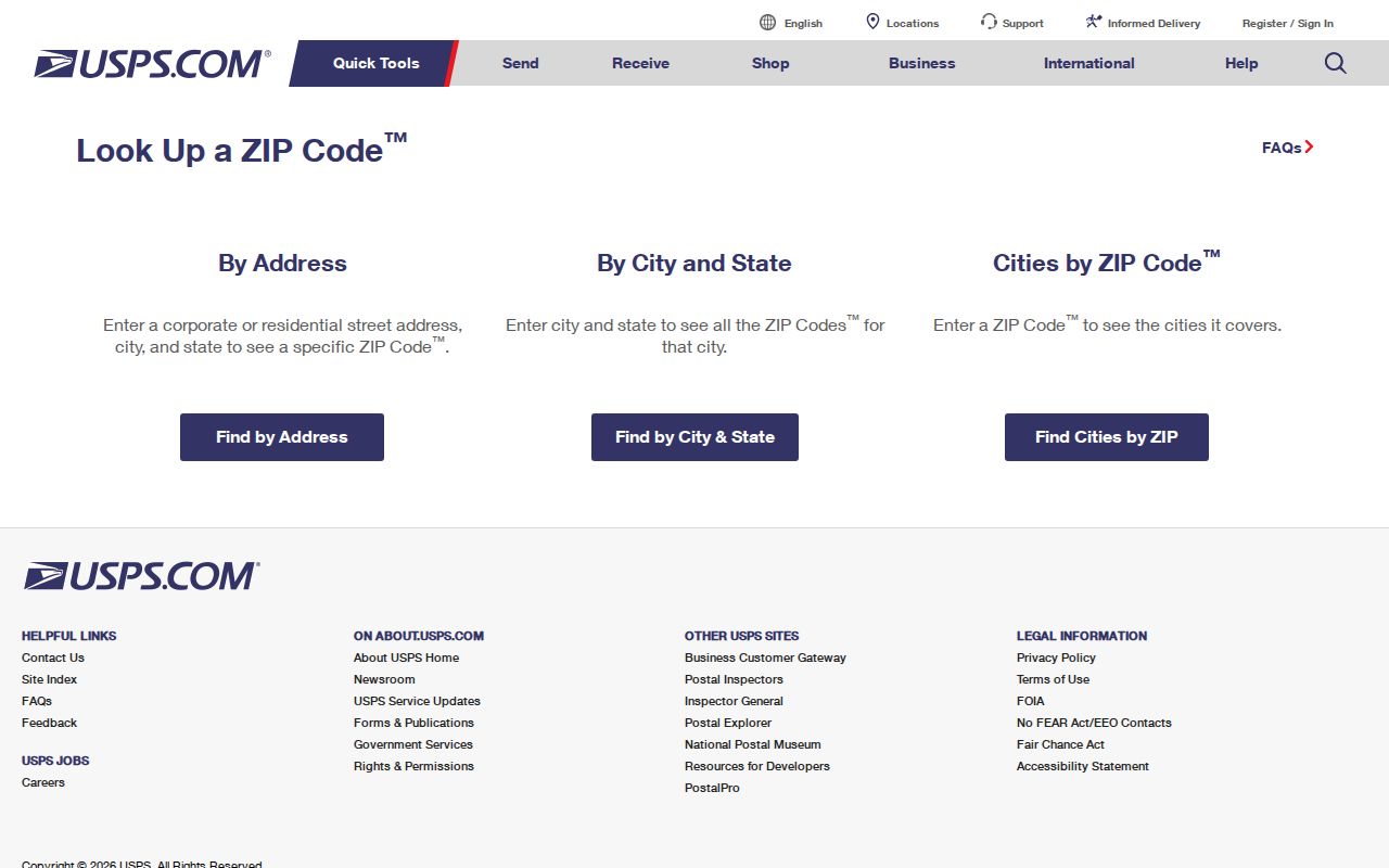
The lookup screen supports address formatting, not a list of residents. Keep the returned ZIP with the date of the search, then use a county property record or another custodian record for the separate question being researched. USPS-standardized formatting can also differ from an address entered locally, so a nonmatch deserves a spelling and directional check first.
Shelby ZIP Code Parcel Filters
The Shelby County Auditor real-estate search and the 2D Parcel Viewer are the verified local tools for a ZIP-filtered property question. Their parcel data can be searched or narrowed with location and property information. The viewer's Location City State Zip filter is the ZIP-capable field documented in the research. It returns parcels with those recorded attributes, not a USPS postal-boundary map.
| Parcel search field | How it works |
|---|---|
| Quick Search | One text box accepts a parcel, owner, or address. |
| Parcel Number | Text entry uses the county's number format without dashes or dots. |
| Location Address | Filters to the physical property address. |
| Listed Owner Name | Accepts a last-name-first or wildcard-style entry. |
| Location City State Zip | Multi-select filter for parcel attributes, including the verified ZIP-capable field. |
| Class, district, sale, or value | Additional filters can narrow a result set before table review or export. |
Parcel results may display a listed owner, deed reference, legal description, values, taxes, location city/state/ZIP, and separate owner or taxpayer contact fields. Read the labels exactly as shown. A result set is useful for examining property records across a ZIP, but it does not establish who occupies every parcel.
The viewer also has Table Search, Draw, Print, Filter, and Near Me controls. Table results can show or hide columns, select one or many rows, and move through 50-row increments. Set the geographic or property filters before exporting. That preserves a clear connection between the parcel attribute that produced the result and the map area being reviewed.
Note: A ZIP-filtered parcel result is a property-record set, not a USPS delivery map or a roster of people who live there.
Find Sidney Residents by ZIP
Use the ZIP as a narrowing tool, then move to the record that actually answers the question. The county viewer is suitable for reviewing location attributes and nearby parcels. USPS is the mailing check. Ohio voter lookup tools were documented with name, county, precinct, and Board-report paths, not a ZIP filter, so they should not be described as a ZIP-wide resident search.
- Check the full address with USPS and save the standardized ZIP result.
- Open the Auditor search or 2D Parcel Viewer and filter Location City State Zip when a group of parcel records is needed.
- Review the location field, listed owner, legal description, and deed reference without merging contact fields into an occupancy claim.
- Turn on city limits or municipal-boundary layers when the issue is Sidney jurisdiction rather than mail delivery.
- For one named street or address trail, use the Sidney street directory after the ZIP has narrowed the area.
For a name already in hand, the official voter tools can confirm a registration and precinct after their required inputs. They are not a public street-browser. For an address question, the Board of Elections identifies Street Report Generation as the appropriate report channel, subject to the protections that apply to voter data.
Sidney ZIP Code Field Meanings
Three parcel labels prevent a common mistake in ZIP research. A property card may show a physical location and different delivery information for an owner or taxpayer. The Recorder's legal description is a land identifier used with recorded transactions. Keeping each label separate makes a result easier to verify and avoids turning a contact address into a claim about where someone lives.
- Situs or location address
- The physical street address assigned to a parcel.
- Mailing or contact address
- The address used for owner or taxpayer delivery. A difference from situs is not proof of occupancy or non-occupancy.
- Legal description
- The lot, block, subdivision, or other land description used to identify property in recorded transactions.
- ZIP+4
- An added postal segment that refines delivery handling. It is not a boundary for a neighborhood or a property-right line.
- Carrier route
- A delivery grouping used by the postal system. It is not a public roster of households.
The research did not verify that 45367 is a PO-box or unique ZIP. Those are postal classifications that require a current USPS source. Do not infer either category from a parcel attribute alone.
Sidney ZIP Codes and City Limits
A mailing city and a municipal boundary answer different questions. The 2D Parcel Viewer provides municipal boundaries, city limits, council wards, school districts, fire sectors, and parcel polygons. That makes it the local source for checking whether an address is inside Sidney. A parcel can carry a Sidney-formatted label without the label resolving the jurisdiction question by itself.
The Sidney Planning & Zoning page is the City channel for annexation, plats and replats, right-of-way vacations, and zoning matters that can affect how land is described or governed.
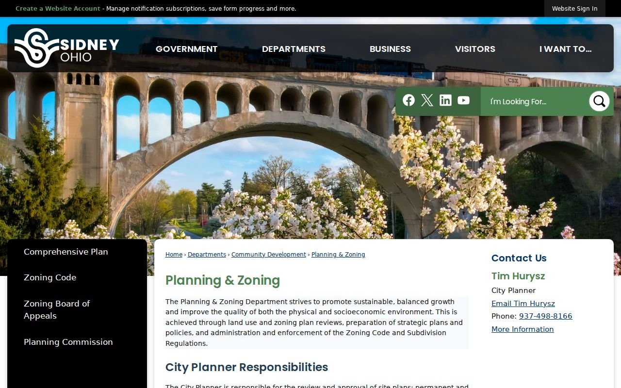
Use the planning material with the map layers when an address is close to the city edge. The City adopted an official zoning map on February 24, 2025, but zoning and postal geography remain separate systems. A zoning label also does not prove residence or determine a USPS delivery classification.
New Sidney ZIP Code Addresses
The City GIS Department assigns new addresses. An applicant contacts GIS and submits the new-address application; GIS also provides property maps by pickup or email. That is the appropriate route when a recently assigned address needs to be checked before a parcel or postal search is treated as complete.
Address research becomes harder when an old record uses a different street description. No authoritative Sidney-wide street-renumbering or renaming project was located. Historic map editions and the legal description provide a safer cross-check than inventing a conversion. The City GIS service, the county parcel map, and USPS each have a separate task in that check.
Sidney ZIP Codes and Historic Maps
Postal labels do not replace the older geography of a street. Sidney's local history identifies Court Square, the downtown area, the Downtown Historic District, and the Walnut Avenue Historic District as meaningful places in the city's physical development. The City timeline also records graded streets beginning in 1896, paving and sewer work around 1903, and streets fully paved by 1950. Those facts can help explain an older map or address record without supplying a modern ZIP boundary.
For a historical address, compare the recorded legal description and location field with the relevant map edition before assuming a postal label carried backward in time. The 1887, 1892, 1898, 1907, and 1914 Sanborn editions are useful for street and building context. They are not evidence of a current delivery area, but they can keep a family-history or property trail from being forced into today's mailing geography.
Sidney ZIP Codes Need Street Detail
A ZIP-wide parcel search is broad by design. Once it yields a likely address, follow the location and property identifiers rather than assuming a ZIP result resolves a household question. The parcel map can show city-limit layers and related polygons; the Recorder can document ownership chronology; City Civic Access can supply address-based permit or code activity. Each record answers a distinct question.
For older streets, the 1887, 1892, 1898, 1907, and 1914 Sanborn editions can help with building and street context. They do not convert postal labels into city boundaries. Treat historic maps, USPS formatting, parcel fields, and recorded legal descriptions as complementary evidence, especially where a mailing label and a city map do not line up.